
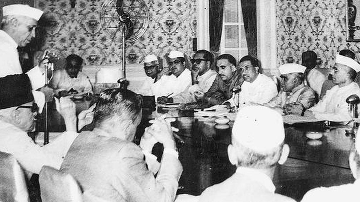
How were the States formed and how has the Indian map changed since 1947?
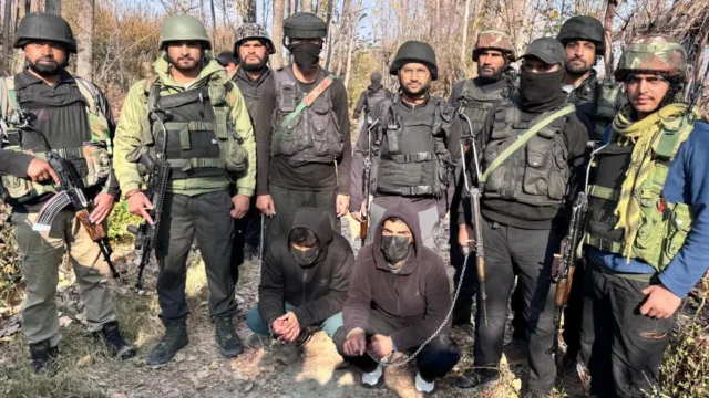
The last transformation of the Indian map happened in 2019 with the creation of the Union Territories of J&K and Ladakh
Attributed summary
The last transformation of the Indian map happened in 2019 with the creation of the Union Territories of J&K and Ladakh
Read the original report — The Hindu News
Storywire publishes attributed summaries for discoverability. Full reporting remains with the original publisher — we do not republish restricted full text.